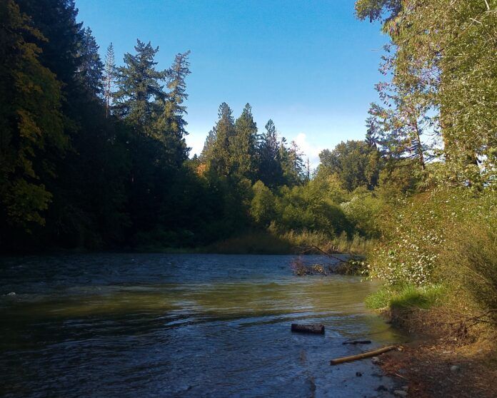
Waders might be useful as heavy rain pours from the skies above Vancouver Island, potentially causing water to leave its normal locations.
The BC River Forecast Centre has issued a flood watch for many parts of east and south Vancouver Island and a high streamflow advisory for the North Island.
Under a flood watch, river levels are rising and will approach or even exceed the sides of a riverbank and cause some flooding to nearby areas. High streamflow means the river levels are rising rapidly, but there is not any flooding expected.
The centre says rainfall totals between 15 and 60 millimetres have been observed since Wednesday. Environment and Climate Change Canada has issued rainfall warnings over many areas of the coast with freezing levels also increasing from 1,800 metres to 2,300 metres, contributing to the runoff.
Current peak levels are expected today through Saturday.
A high avalanche risk is also accompanying the heavy rains and winds. Avalanche Canada says the conditions have created a natural avalanche cycle at high elevations.
They say there could be between 40 and 80 centimetres of fresh snow accumulated and the highest elevations, with rain likely below 1,700 metres. There is likely 90 to 130 centimetres sitting over a thin crust layer above 1,000 metres, and has been identified as a critical avalanche layer.
Environment Canada says the heavy rain is supposed to ease Friday afternoon. Drivers are asked to be watchful for road washouts and be ready for rapid visibility changes.


