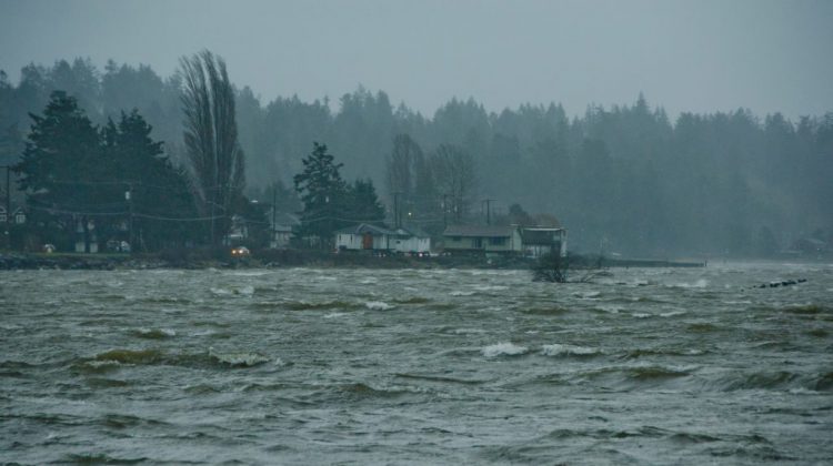
The brunt of tonight’s windstorm is expected to begin hitting communities on Vancouver Island and the Sunshine coast in the next few hours.
Along East Vancouver Island, the Sunshine Coast, Southern Gulf Islands, and Inland Vancouver Island regions, easterly winds of 80 kilometres per hour are expected, gusting to 90-100 kilometres per hour.
Environment and Climate Change Canada meteorologist Brian Proctor says the biggest wind impacts are going to be on the west side of the Island, with the strongest winds to be on the extreme northern tip on the Island.
“Really all areas of the Island are likely to see fairly significant winds over the next 24 to 36 hours,” said Proctor.
Proctor says wind speeds increased significantly in the morning, with speeds increasing at the Comox Airport from 13 to 15 kilometers an hour to 42 kilometers, with gusts of 52 kilometres per hour.
He says winds will continue to increase through the afternoon and evening, with peak winds expected in the overnight.
“By 6:00 p.m., we’ll probably see winds out of the southeast go up to 80 kilometers gusting 100 an hour and are likely going to persist in the overnight period, and start to drop down very slowly around daybreak,” said Proctor.
“The winds will continue to be significant for much of the day on Wednesday before dropping down later in the afternoon.”
In terms of power outages, Proctor says the areas to worry about are Hornby and Denman Islands, as well as Cortes and Quadra Islands, the Southern Gulf Islands, and areas closer to the Strait of Georgia.
Because this storm will last for a while, he encourages well users to draw water from wells while you still have power, constrain items that could be tossed from your yard, and to be ready for long power outages.
Environment Canada adds along with the storm, high tides are expected along coastal sections of Vancouver Island and the Sunshine Coast late Wednesday morning.
The tides could cause minor flooding, rolling logs, and heavy debris.


