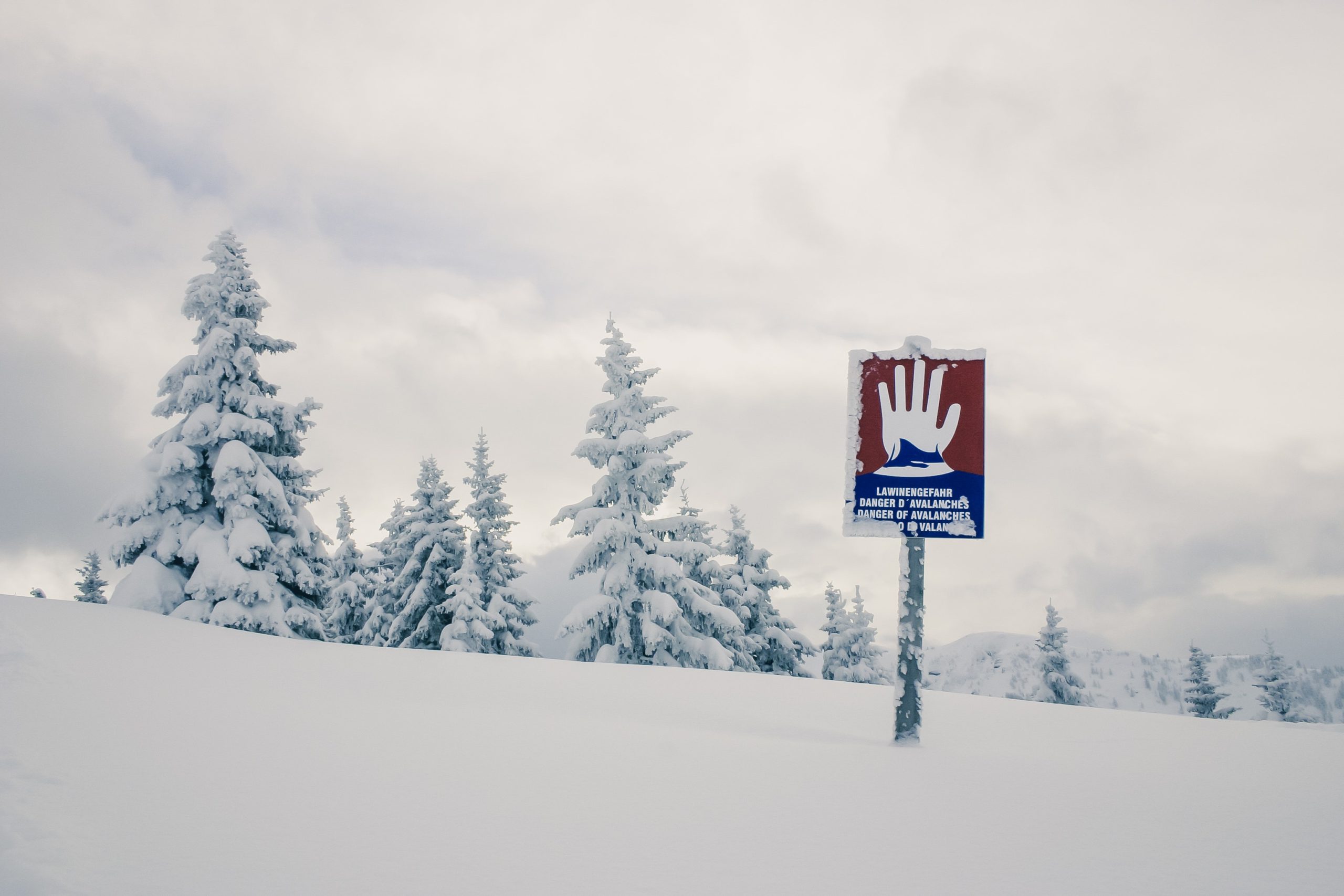
Snow conditions on Vancouver Island and the Sunshine Coast have changed drastically over the last week, but forecasted cold weather and high winds could create new challenges with avalanches.
Avalanche risk in the region is considered ‘considerable’ as of Wednesday, according to Avalanche Canada. However, that’s a downgrade from the ‘high’ rating earlier in the week and the forecast says the danger rating should decrease as the colder temperatures come to the area.
Overnight lows of around –10 are forecast for the Island and Coast starting on Thursday. However, Avalanche Canada public avalanche forecaster Zoe Ryan says that other factors could bring dangers that will need a more trained eye to watch for.
“A significant winter storm impacted the Island on Monday night, and that brought with it up to 80 cm of new snow at higher elevations,” said Ryan.
“At our considerable rating, dangerous avalanche conditions still exist in the backcountry. What this means is human triggered slabs can remain likely.”
The other danger Ryan highlights is high winds that will accompany the cold weather as it sets in, moving snow around to new areas.
“These winds are probably going to redistribute all this dry snow into new wind slabs and these slabs may be in more atypical areas because it’s a northerly wind,” said Ryan.
However, the cold temperatures also tend to make other areas more stable as they draw moisture out of the snow. The danger will depend on what areas will see those stronger winds, and Ryan says that looks mostly like the Island and South Coast.
Because of the local climate, however, temperatures will eventually warm up. Ryan says any significant change to the snowpack is likely to increase avalanche danger, whether that is a storm or a temperature rise.
“So, heading into the backcountry in the next few days, folks should be on the lookout for those northerly winds and if they are experiencing those winds, they want to look for evidence of wind transport,” said Ryan.
“They want to be looking for signs of instability like ‘whomping’ – which means snow collapsing underneath your feet – or shooting cracks coming off their skis or signs of avalanche activity.”
She adds the cold temperatures can bring an extra risk as it will feel much colder than normal, especially with the wind.
They recommend you plan shorter days, stay nearer to your vehicle, stay in non-avalanche terrain, ride in larger groups and carry extra warm layers and Firestarter.
In addition, you should have your avalanche training, transceiver, shovel and probe, and check the forecast and ensure you are following the daily process, which can be found here.


