It’s like the Google Maps car, but on a boat.
The Pacific Salmon Foundation has been mapping the coastline of East Vancouver Island this summer, using a 360-degree camera mounted on top of a 16-foot boat. They made it to Comox this weekend but had to delay plans to continue north because of forecasted winds.
Isobel Pearsall, foundation Director of Marine Science Programs, says the mapping work is important to document and better understand human impacts on shorelines and ecosystems. She says the end result is what her team light-heartedly calls “Shoreline View” because it is similar to what Google Maps has created for streets.
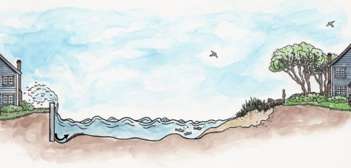
“The primary reason that we started this project was to look at the extent of shoreline hardening, so that would be seawalls and rip rap and all the sort of things people do to protect their immediate properties,” she says.
She says shoreline hardening is sometimes necessary, but in many cases more natural solutions are better for the environment, for salmon, and for people.
The data being collected by the boat is already of interest to coastal municipalities, who are eying it as a source of information to better inform local environmental management efforts, she says.
The boat, affectionately named “Wilbur,” will be back on the water in a few weeks, and next year will map the coastline from Campbell River to Port McNeill.
MORE: PSF’s Shoreline Mapping Manual


